”Chance is underway. So are Sweet Melissa and Panther,” Pete informed me a few minutes after 0800. I was dragging my feet. Storms in the night brought Katie to the Vee berth where Pete racked while I starfished my way across his side of our bed.
Heavy thunderstorms were predicted throughout the day along the track to Georgetown. But there’s safety in numbers. I took Katie for a short walk while he took in the shore tie and water hose.
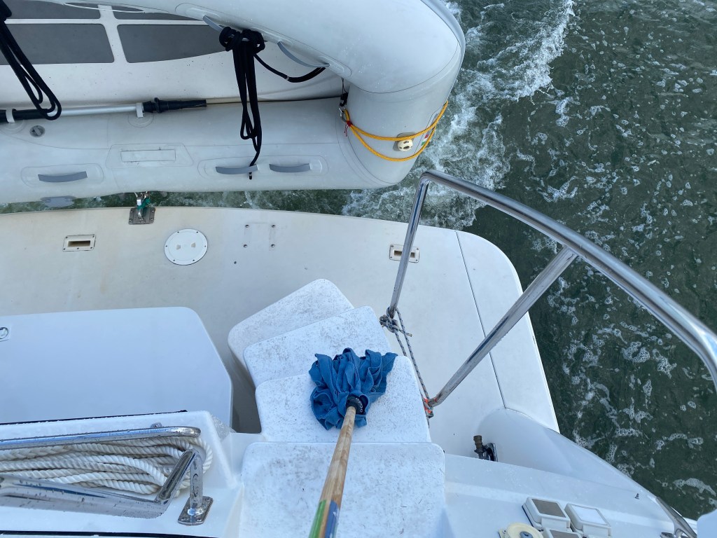
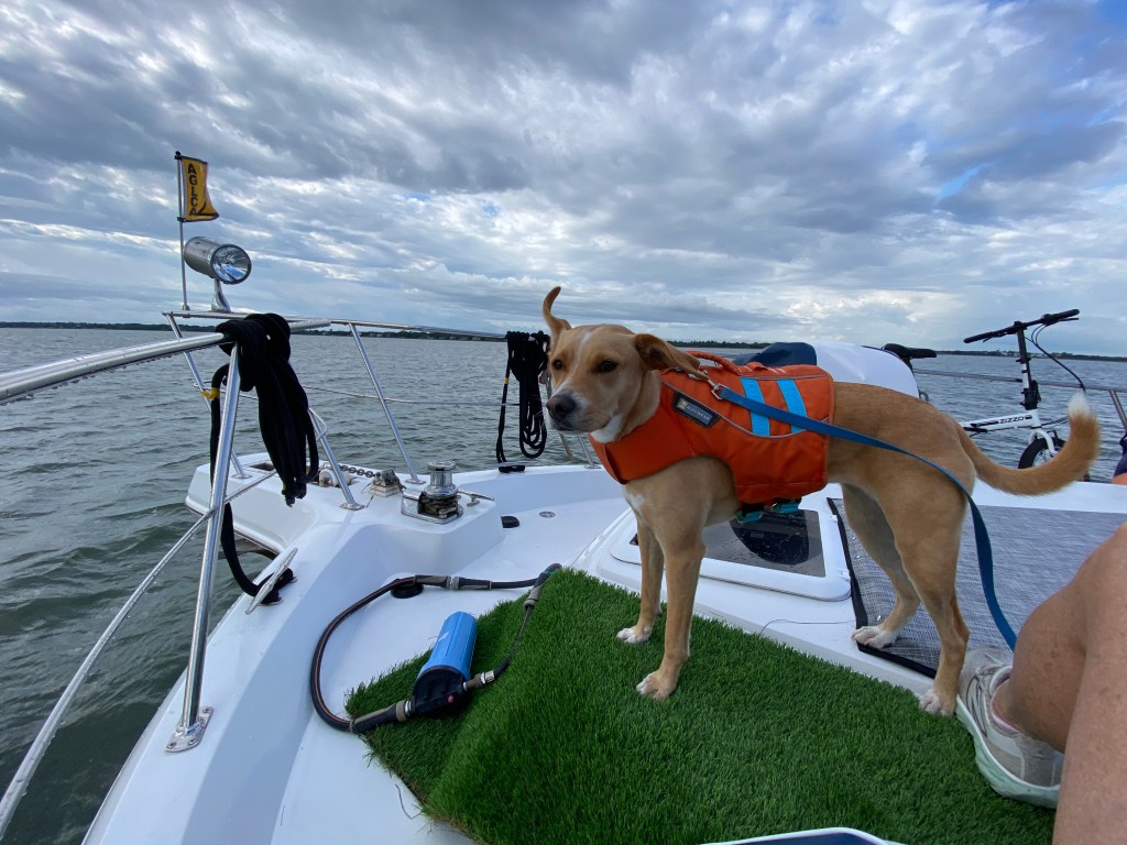
By 0845 we were underway in Charleston Harbor for the 68 mile run to the 300-year-old seaport at the head of Winyah Bay. I swabbed the decks while Pete drove. Then Katie and I hung out on the bow catching the breeze.
The run north is a long ditch, dredged to 12 feet, though the channel is much shallower in places. The tidal rivers constantly shift sand and silt to rearrange the bottom.
I’m not great at reading the water so I rely on the Army Corps of Engineers overlay on the electronic Aqua Map, and something called Bob’s Tracks. Today, though, I also practiced the art of seeing as I checked my best guesses about the deepest part of the channel and the location and slope of shoals against the chart data.
Water is often deepest on the outside of a channel bend. Shoals build on the inside. And where creeks empty into other rivers or the channel. Sometimes shoals develop around pilings, like those that hold channel markers. Where currents meet, there is often a distinct line of flotsam. And so on.
*
It’s easy to become reliant on electronics. But when Georgetown was founded in 1729, a few years after Charleston, mariners relied on their ability to read the water — and weather, compass, sextant readings, and the positions and phases of the moon, sun, and stars.
They relied on the notes and knowledge of others who came before. Charts were only as accurate as the surveyors or cartographers who drew them up. If their readings weren’t good, if their information wasn’t properly vetted, the chart would be no help at all.
I studied the helm console as I drove Irish Hurricane through a couple of particularly narrow passages, talked to other boats on the radio to arrange passage, and checked the radar for rain and sonar for depth. I have advantages the ancient mariners decidedly lacked.
I played what-if. What-if I lose charting, or Bob’s blue dotted track, or Navionics’ magenta line, or anything else? Would I know what to do? What if a channel marker is destroyed, missing, or off station?
Could I simply read the water? I practiced looking away from the glowing screens, to focus on the environment. The water, the wind and types of clouds, the way IH and other boats and buoys were moving and being moved by propulsion, wind, and water. I want to be able to trust my gut.
I practiced mentally. I don’t obsess over the possibilities of losing modern conveniences. But I advocate thinking things through, knowing what I’d do if I had to step up and decide for myself.
Today, though, nothing went wrong. We reached Georgetown by 1645. It rained along the way, but not hard and not for long. We docked after Sweet Melissa. Chance pulled in after we did. Panther is moored on the other side of the marina shack, though I’m not sure when they arrived.
I took Katie for her walk, remembering Georgetown’s cool old houses. We’ll be here for a night or two, then continue north.

Anne, Your writing carries us along. Donny and I are with you, Pete, Katie, and the IH. As always, beautiful writing and the photos, too. xoxoxo
LikeLike
Thank you Janet! I have figured out how to reply to comments now lol…
LikeLike